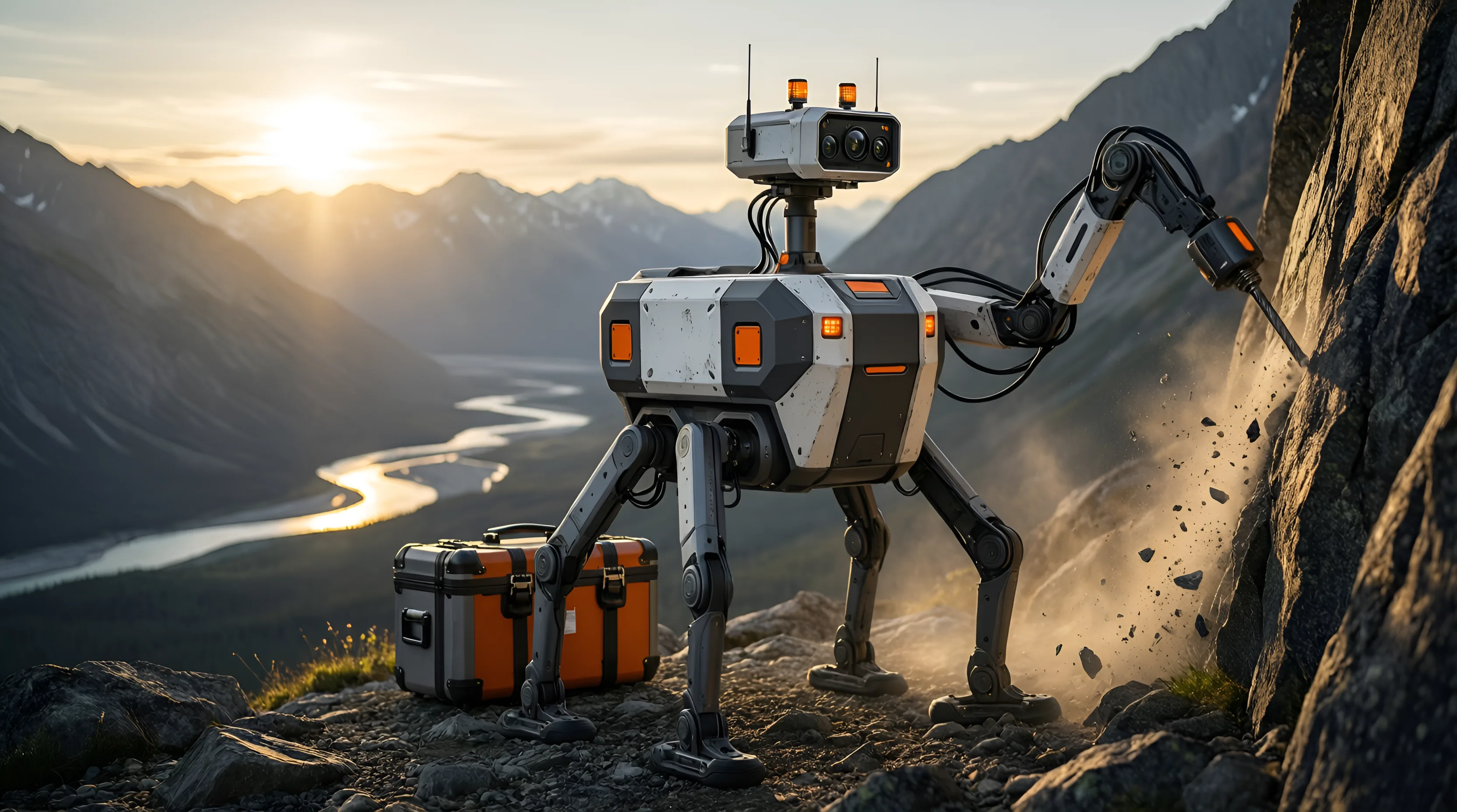


Surface
Qlondike
Finds the anomaly.
Walks treacherous terrain, scans rock faces and cuts channel samples.
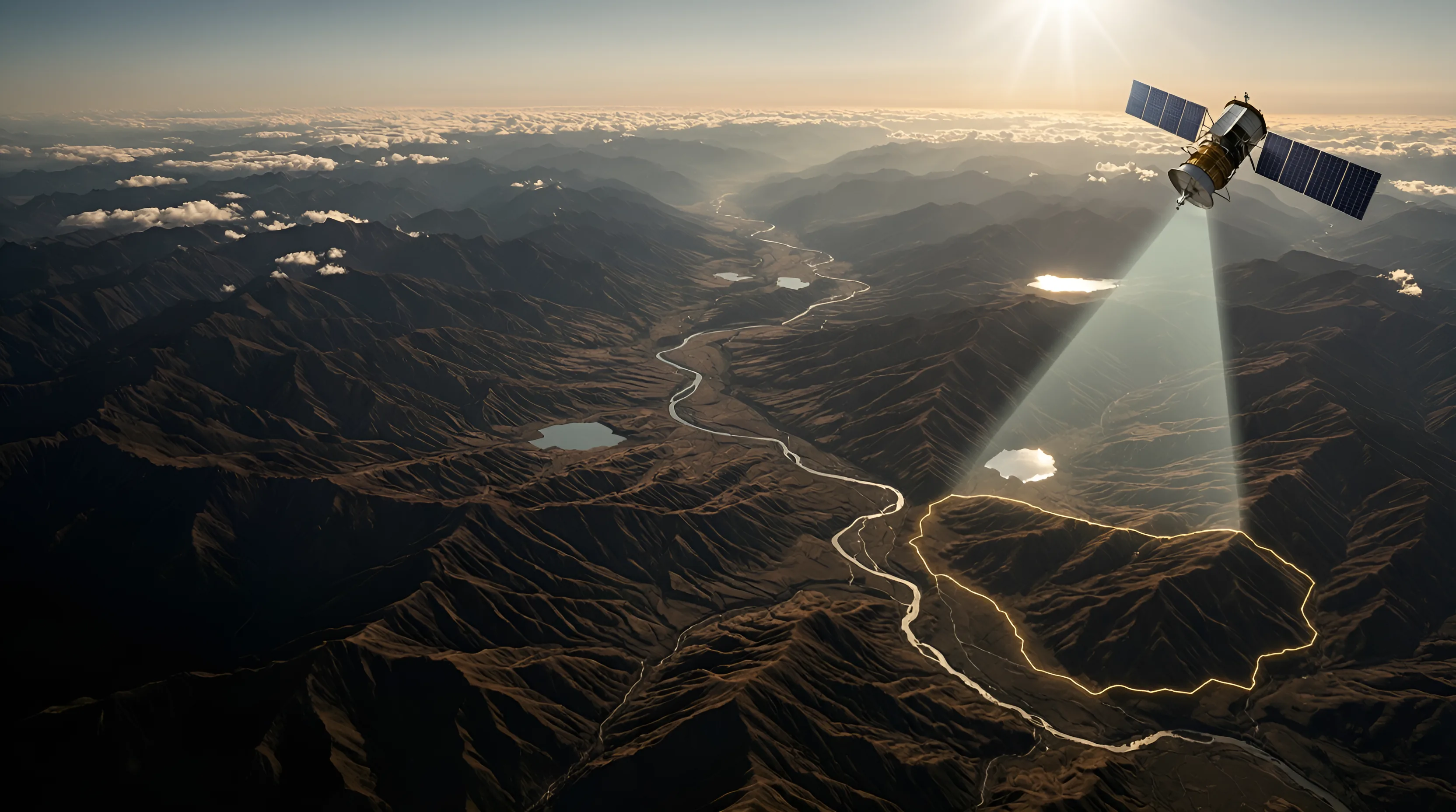
Hawkeyes uses satellite and drone technology combined with AI to predict where to find metals and minerals, such as gold and uranium.
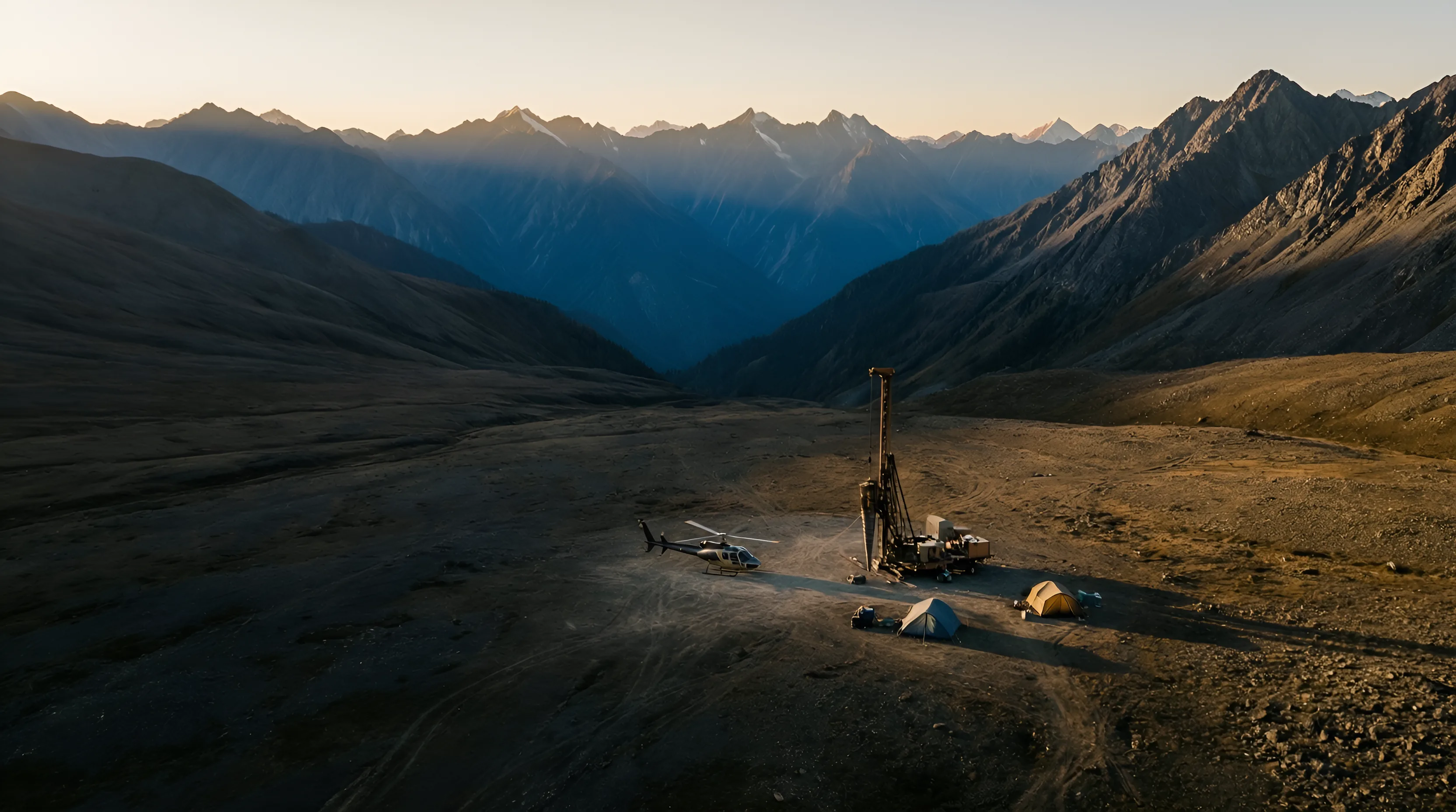
Every year, exploration money is lost to uncertainty. Satellites and AI create certainty, especially in hard-to-reach ground.
Not just gold. Uranium and other metals and minerals too.
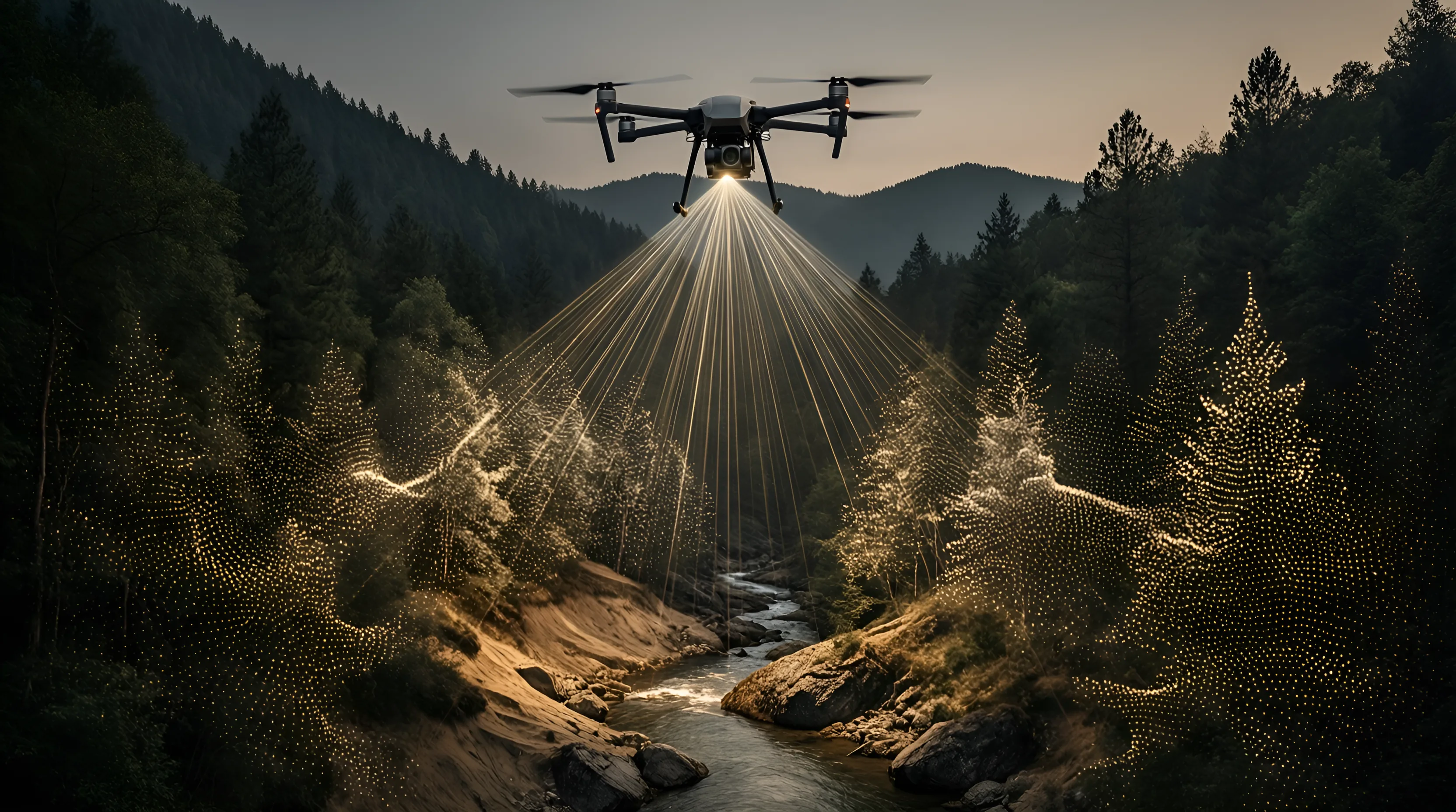
Airborne laser that maps the bare ground in 3D, even under forest.
Used for
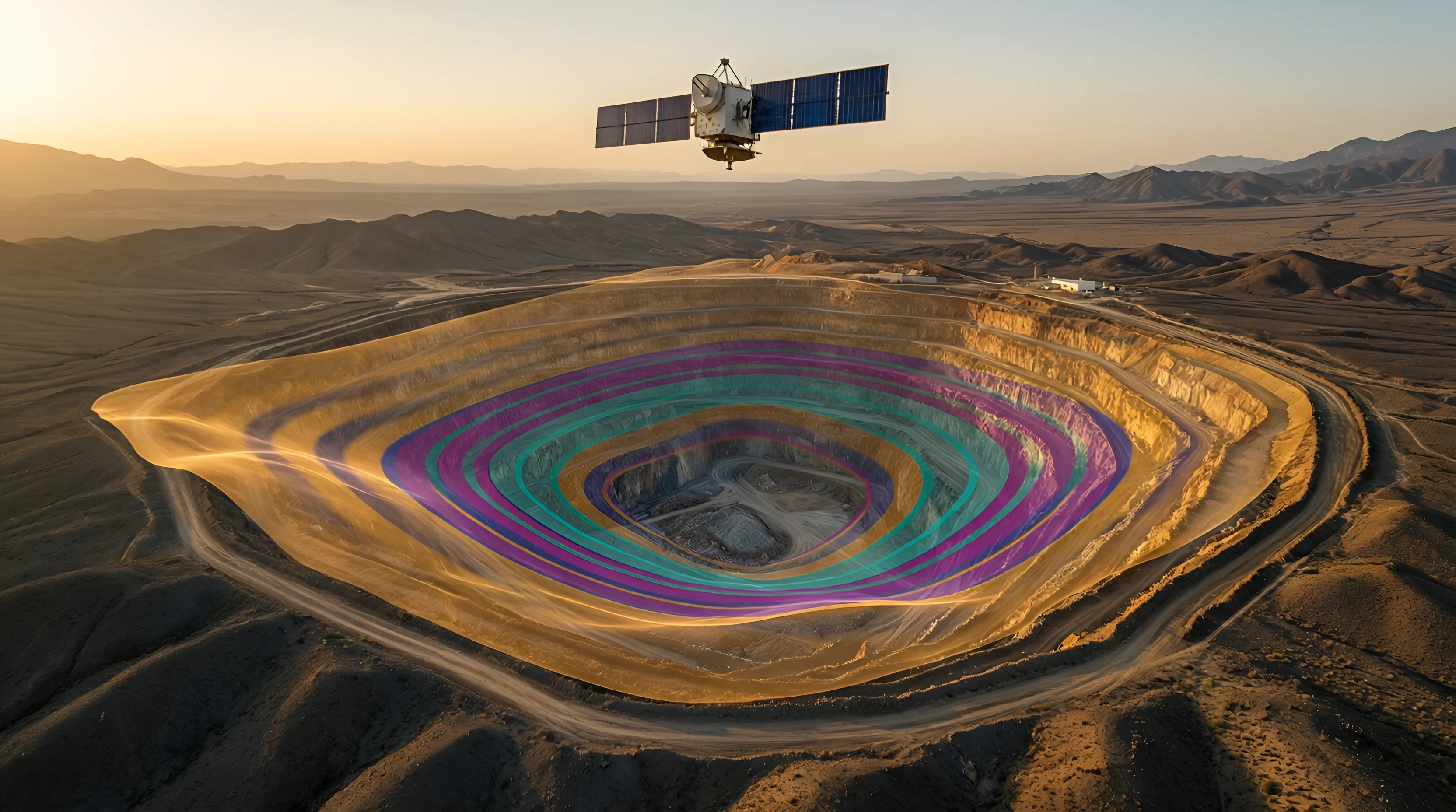
Satellite radar that measures how the ground moves, to the millimetre, through cloud.
Used for
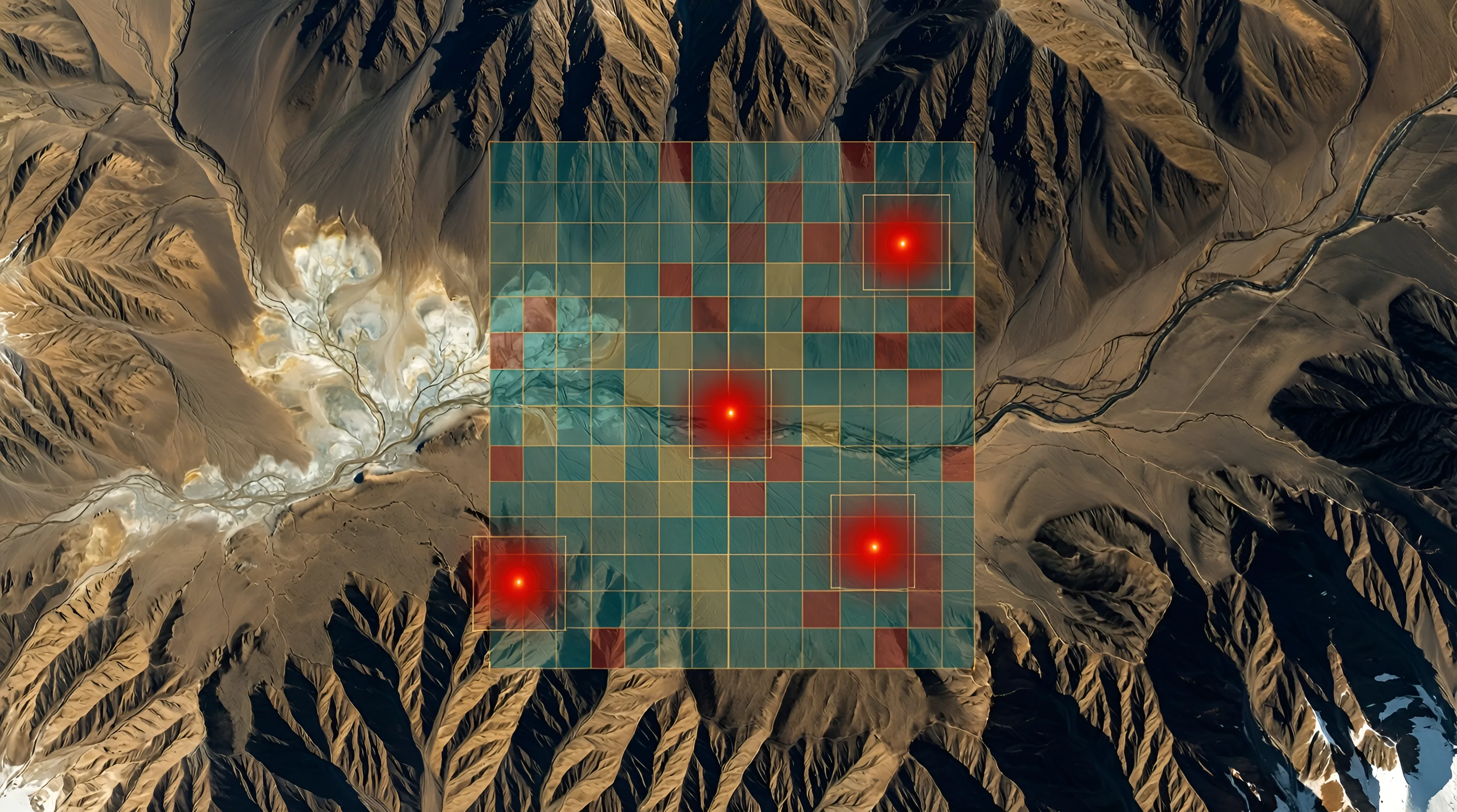
Convolutional Neural Networks that read satellite imagery for the fingerprints minerals leave behind.
Used for

Drone-deployed robots that reach treacherous ground to sample and drill, in any condition.
Used for
Phase 1 · Satellite review
About 3 weeks · no field crew
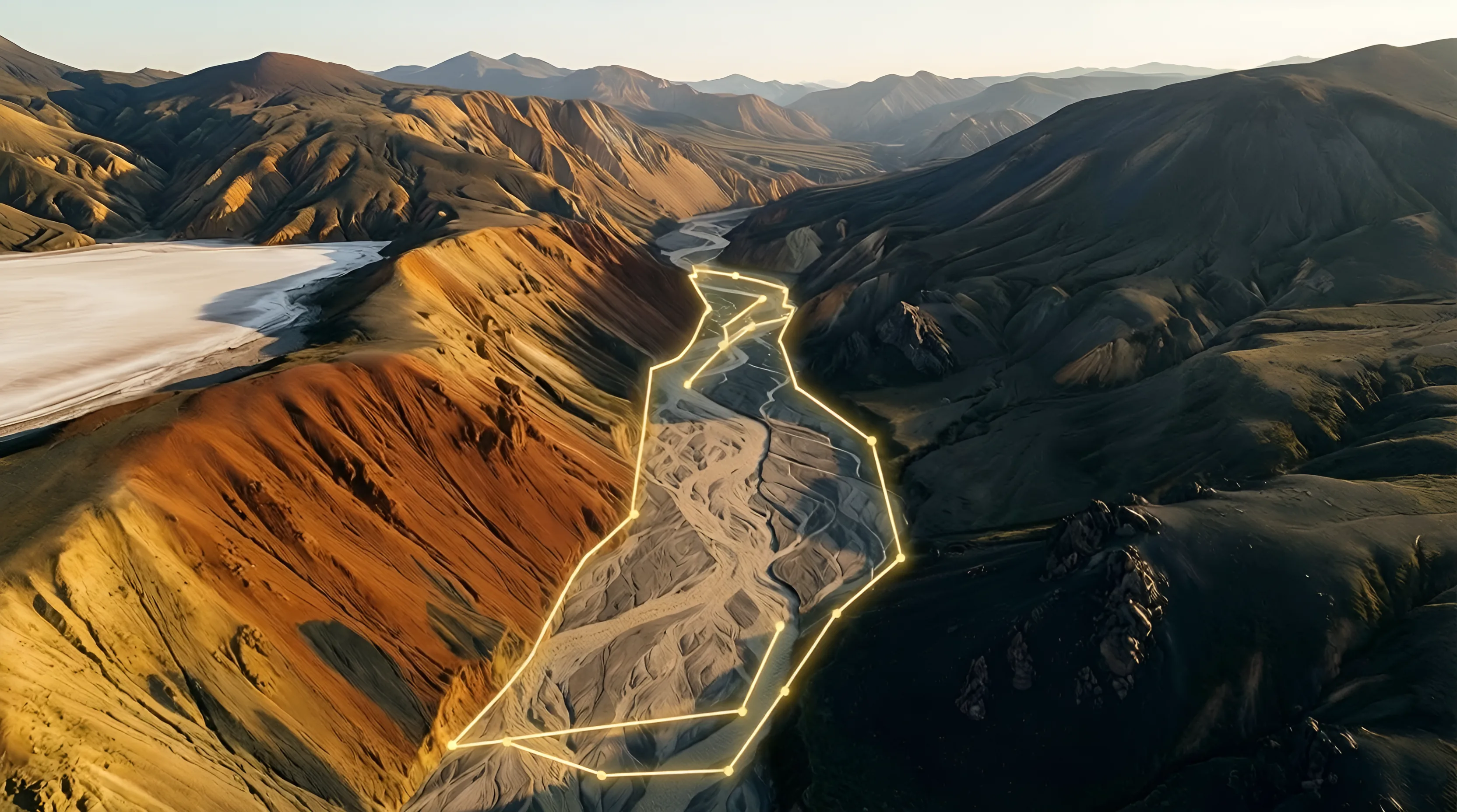
Send coordinates, a shapefile or your licence polygon.
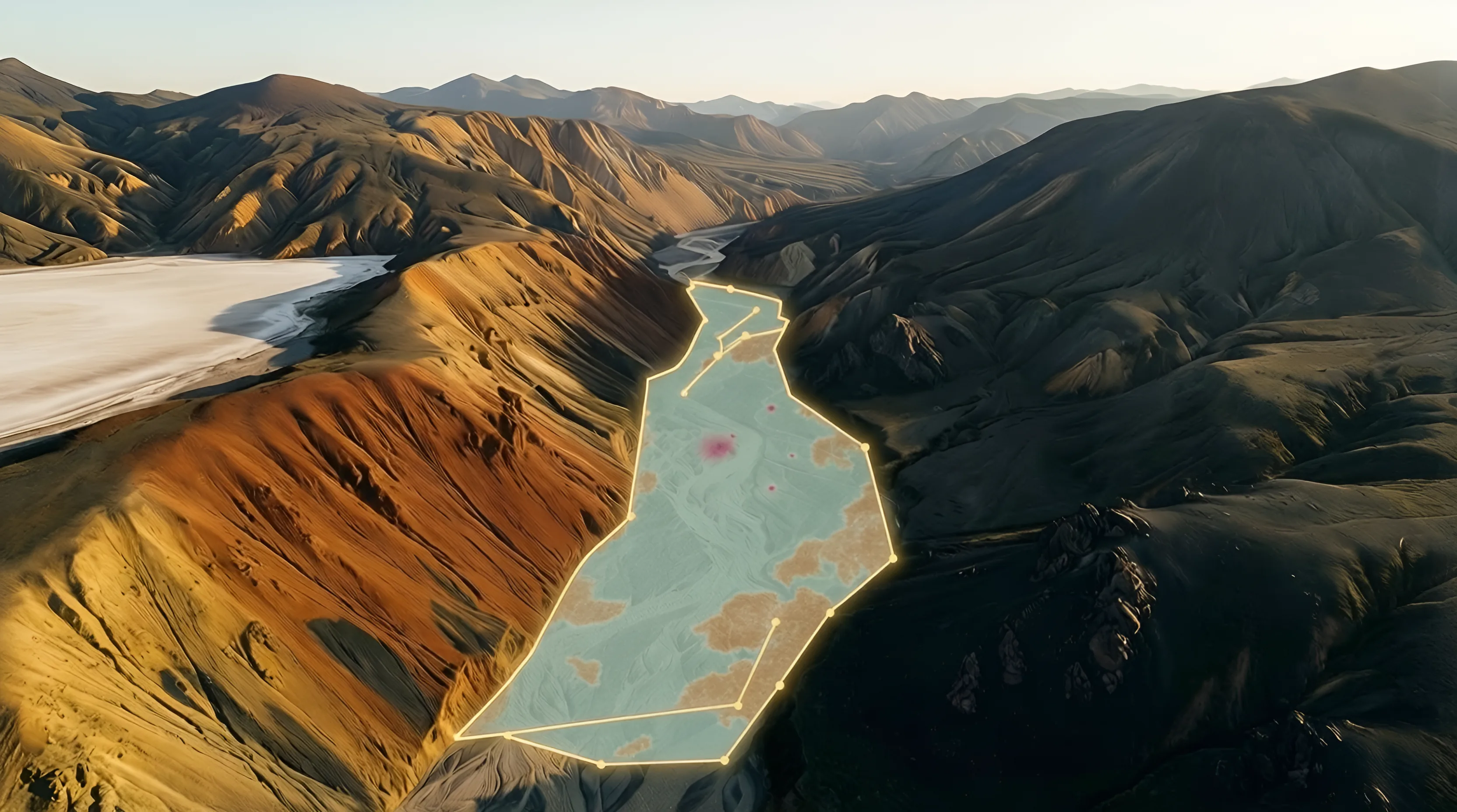
Radar, spectral and terrain layers, read by our models.
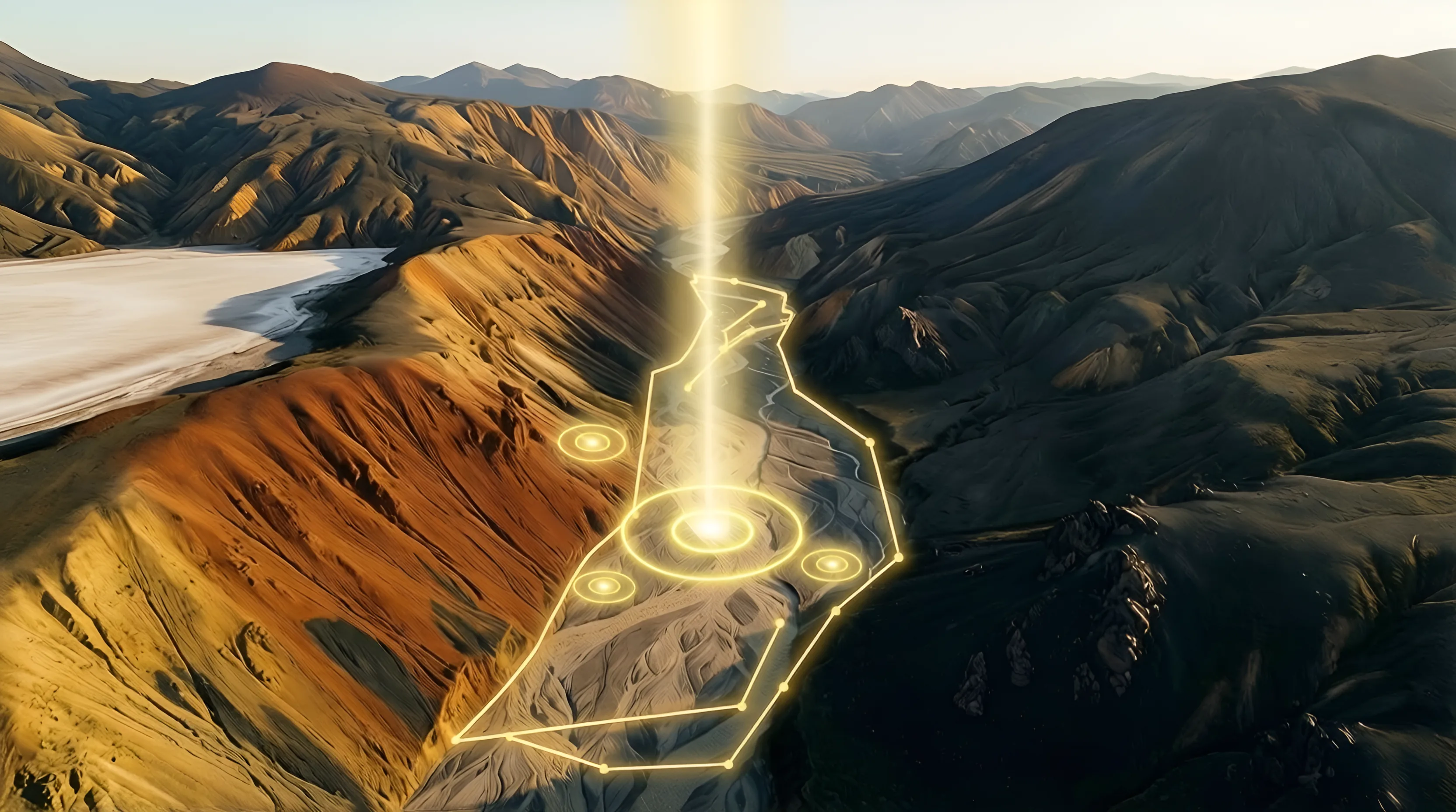
Ranked targets, confidence scores and maps your team can act on.
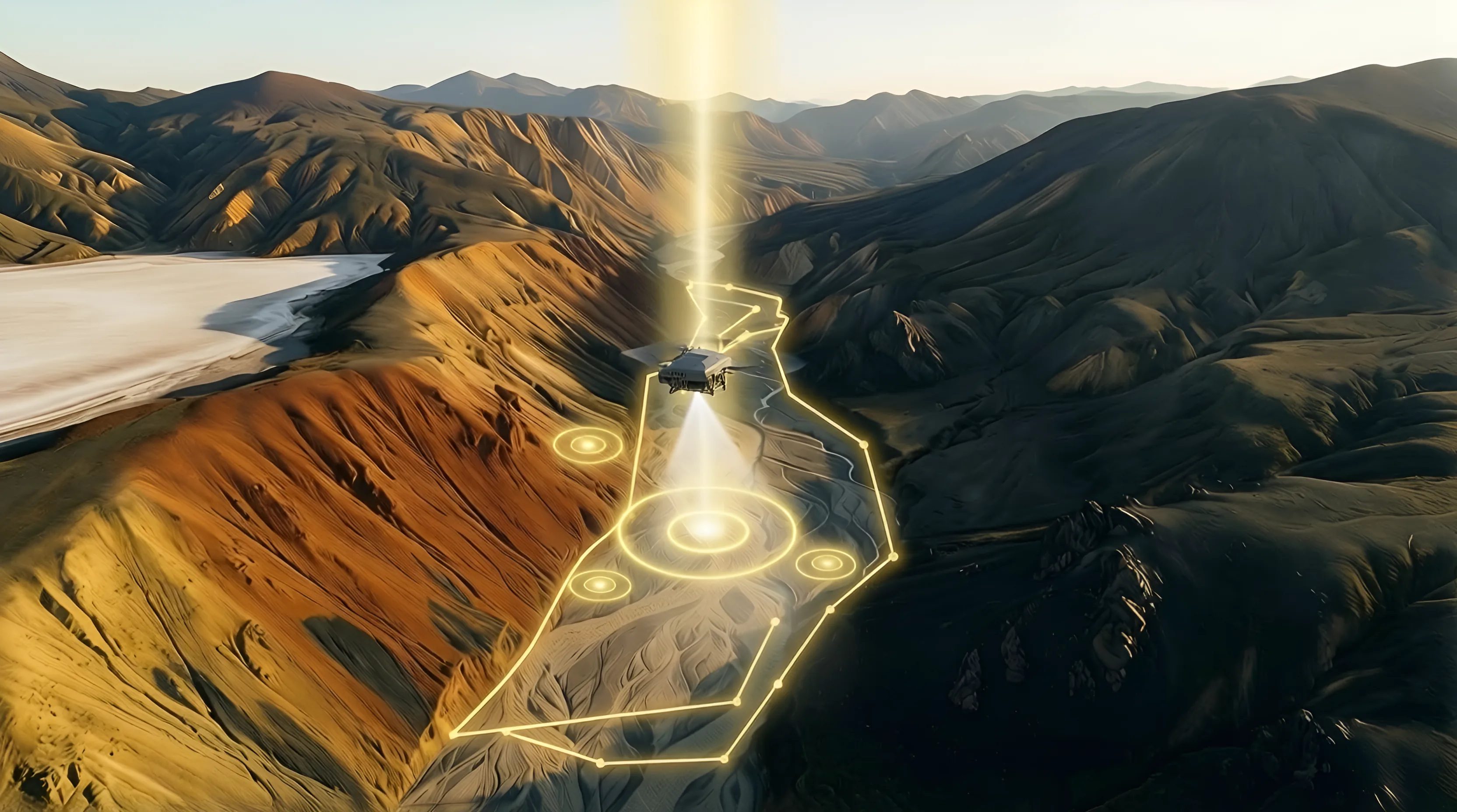
Phase 2 · Drone targeting · 3–4 weeks
Drones fly the top zones. You get drill intercepts with coordinates.
Trained on geology, our models spot the patterns mineral systems leave in hundreds of spectral bands.
Used in mining for
Our prospectivity and monitoring models read every layer together, so each one covers what the others can't see.
What comes out
Where to sample, where to drill, what to watch, and when to act.
Drones fly the targets orbit flags, 30–100 m above the rock, and confirm them with magnetics, radiometrics and ground radar. Answers in weeks, not seasons.
Fewer crews in dangerous ground, fewer wasted drill holes, and exploration that works in places the industry has written off.
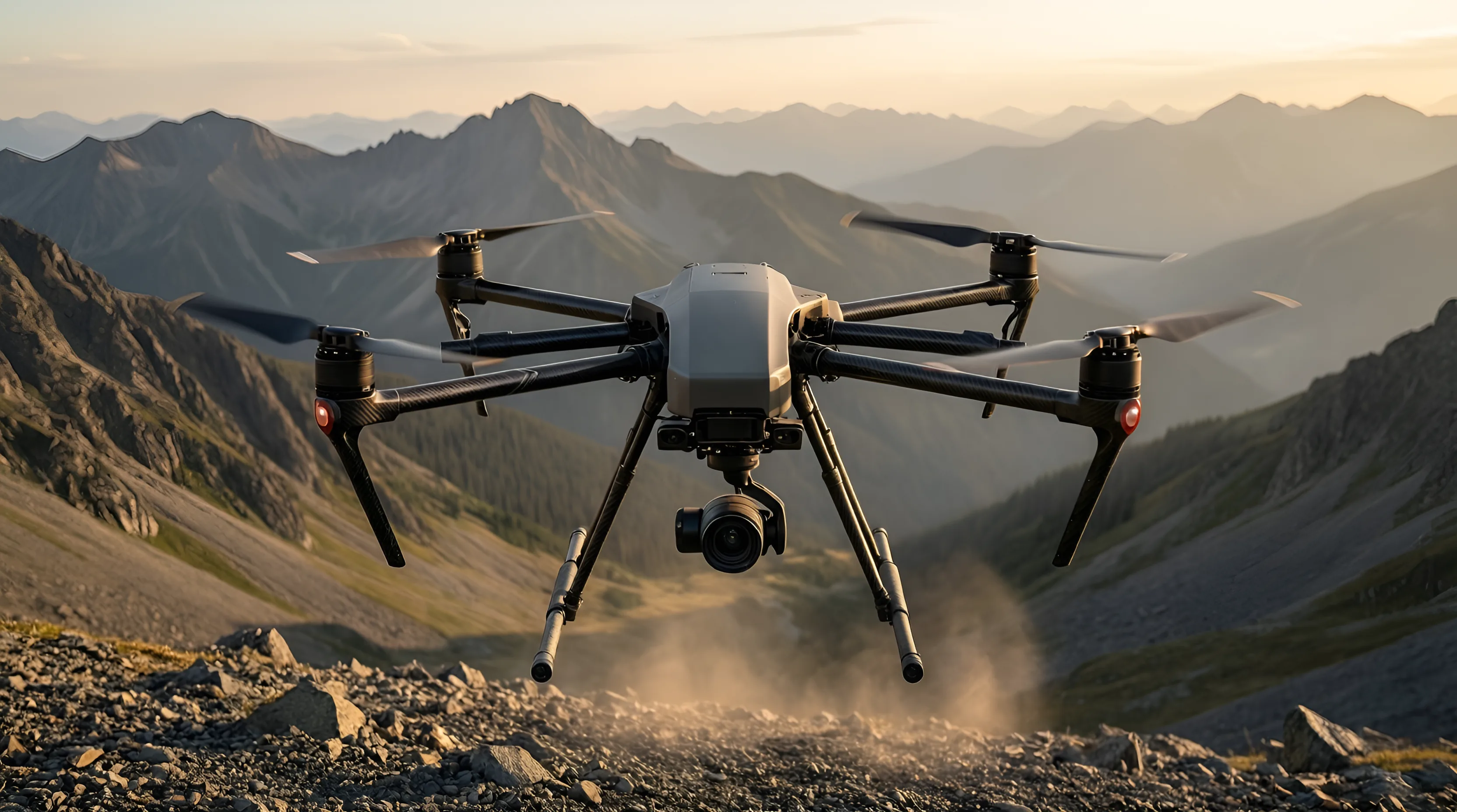
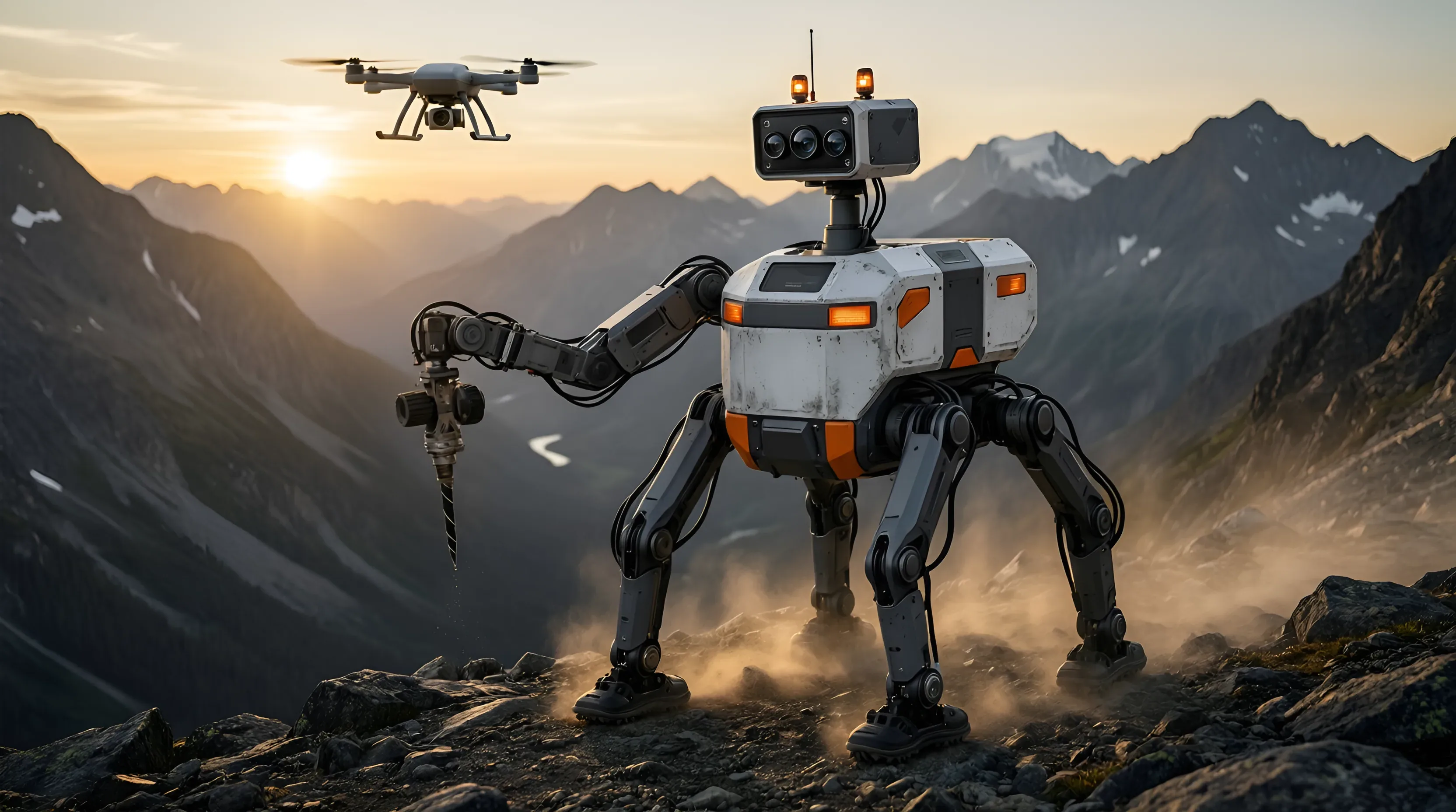
Channel sampling for the modern age.
Surface
Finds the anomaly.
Walks treacherous terrain, scans rock faces and cuts channel samples.
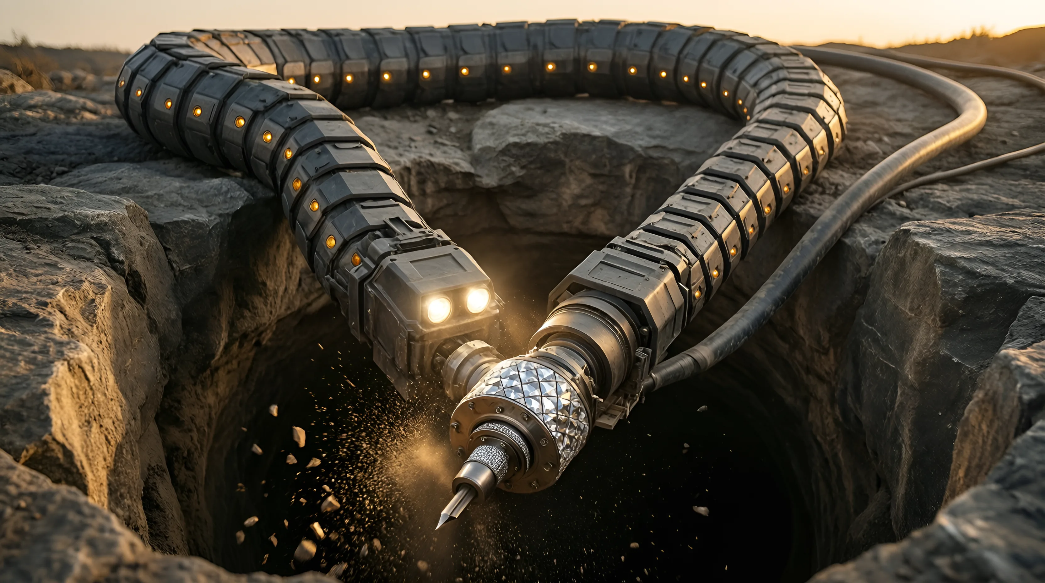
Subsurface
Follows the ore.
Bores into rock for initial drilling and measures conditions as it advances.
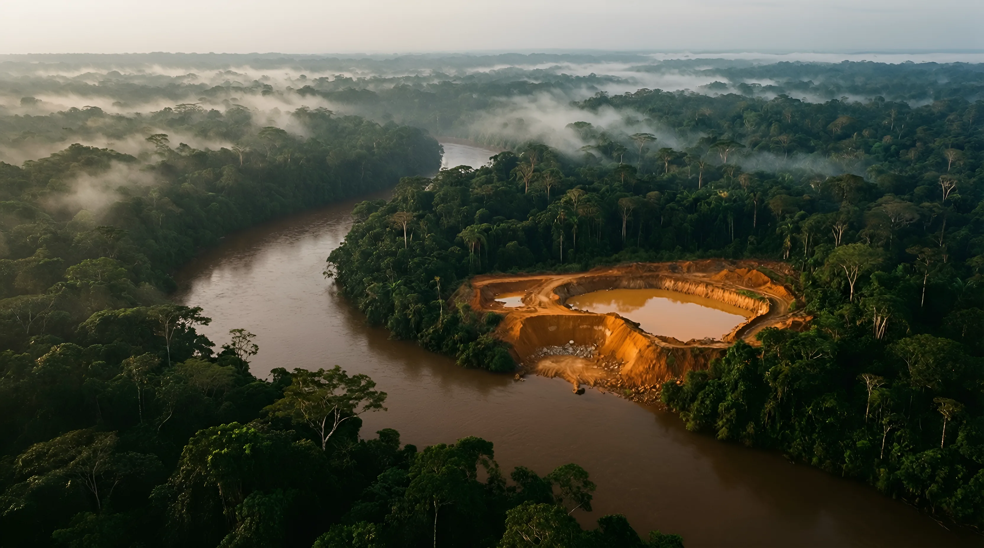
Paraguay and its neighbours are fighting illegal mining and clandestine jungle flights. Radar flags every new clearing through the cloud. Drone LiDAR confirms what's under the canopy.
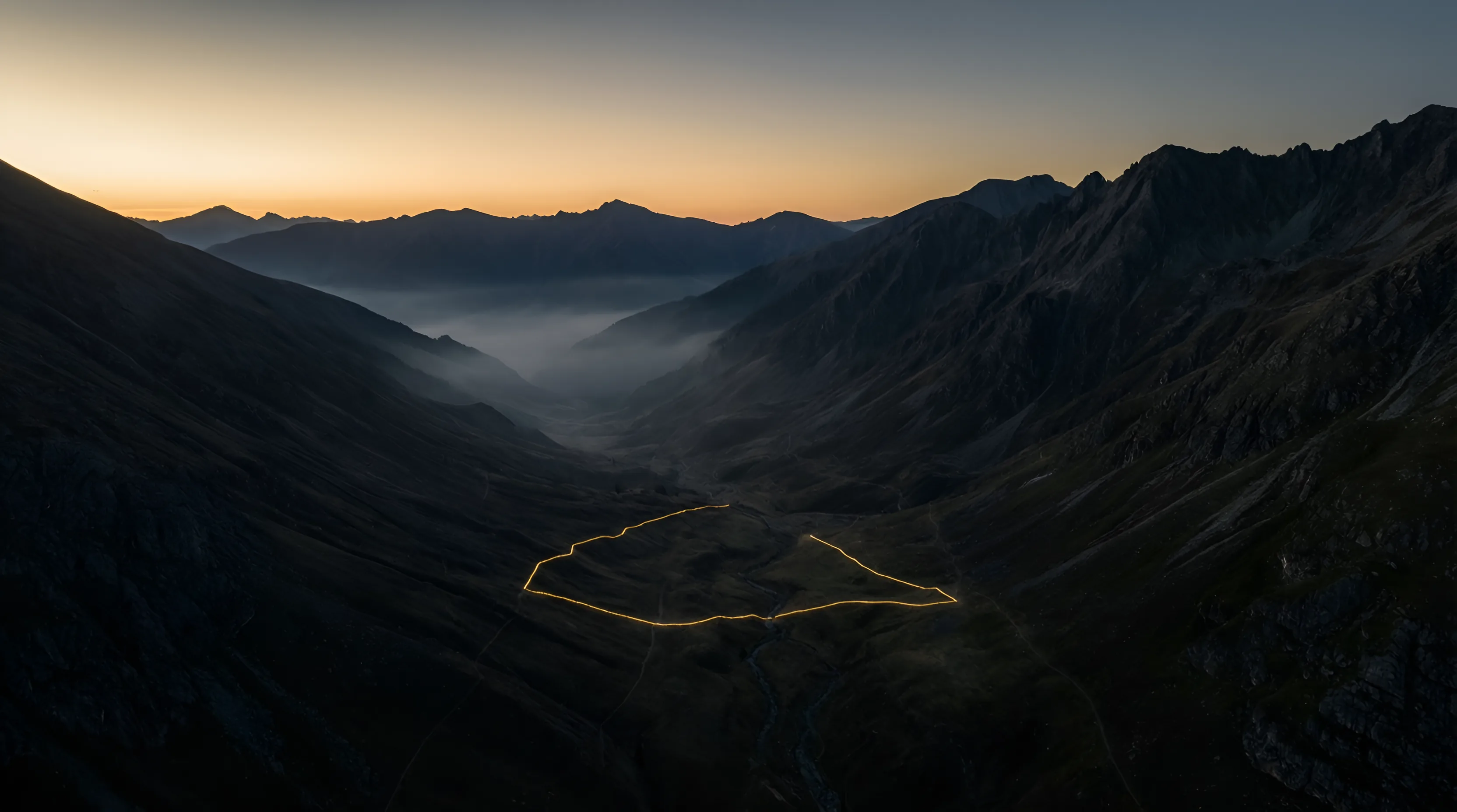
We'll show you what the ground has been doing.